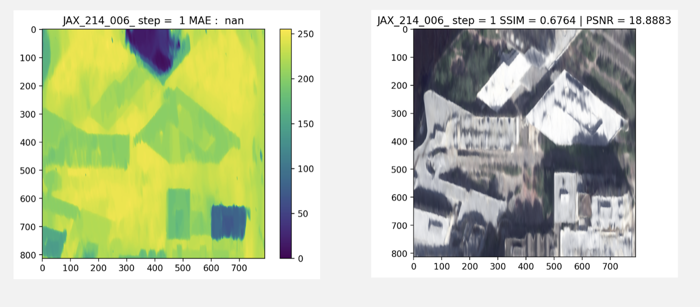
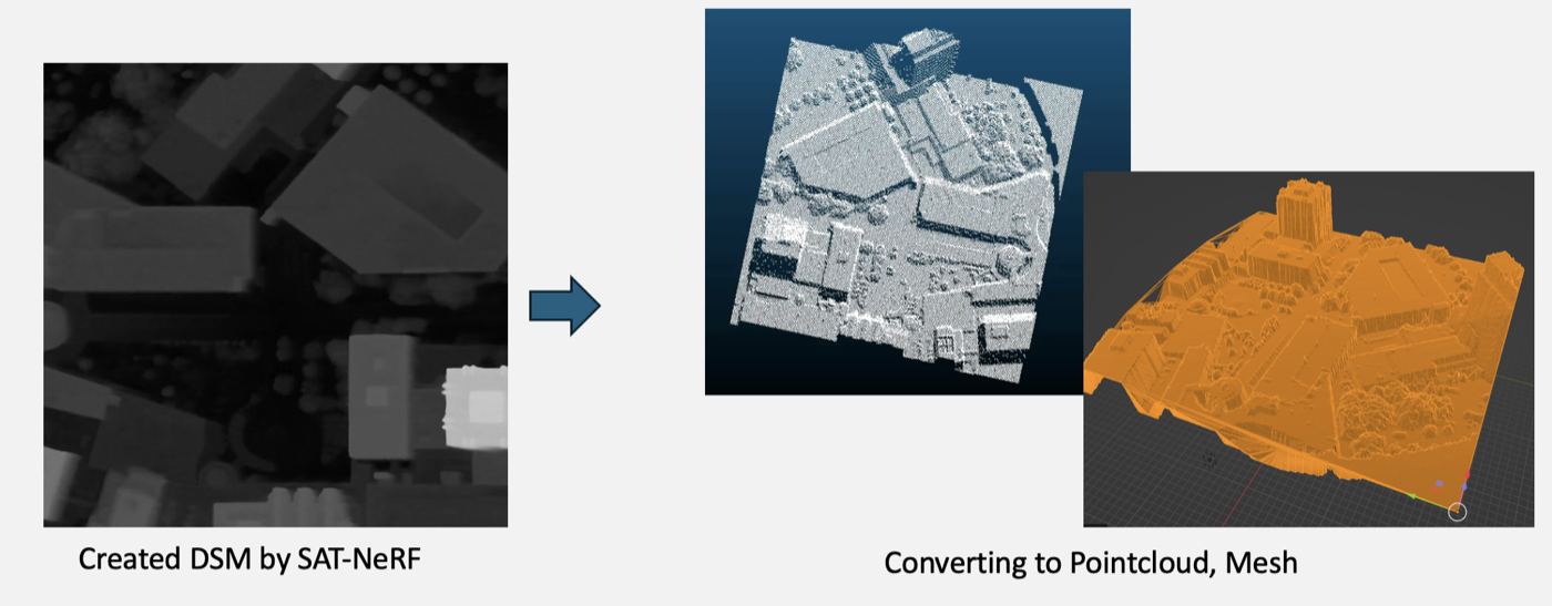
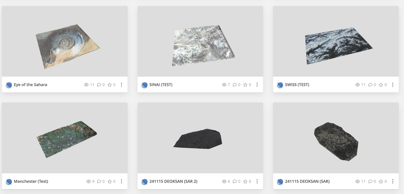
At Stellarvision, I built a pipeline that turns 2D satellite imagery into 3D. It generates high-precision, DEM-based 3D reconstructions of terrain and buildings and evaluates the rendered results against reference views with SSIM and PSNR.
Satellite image, generated DEM, and SSIM / PSNR evaluationReconstructed 3D terrainRendered view compared with the reference