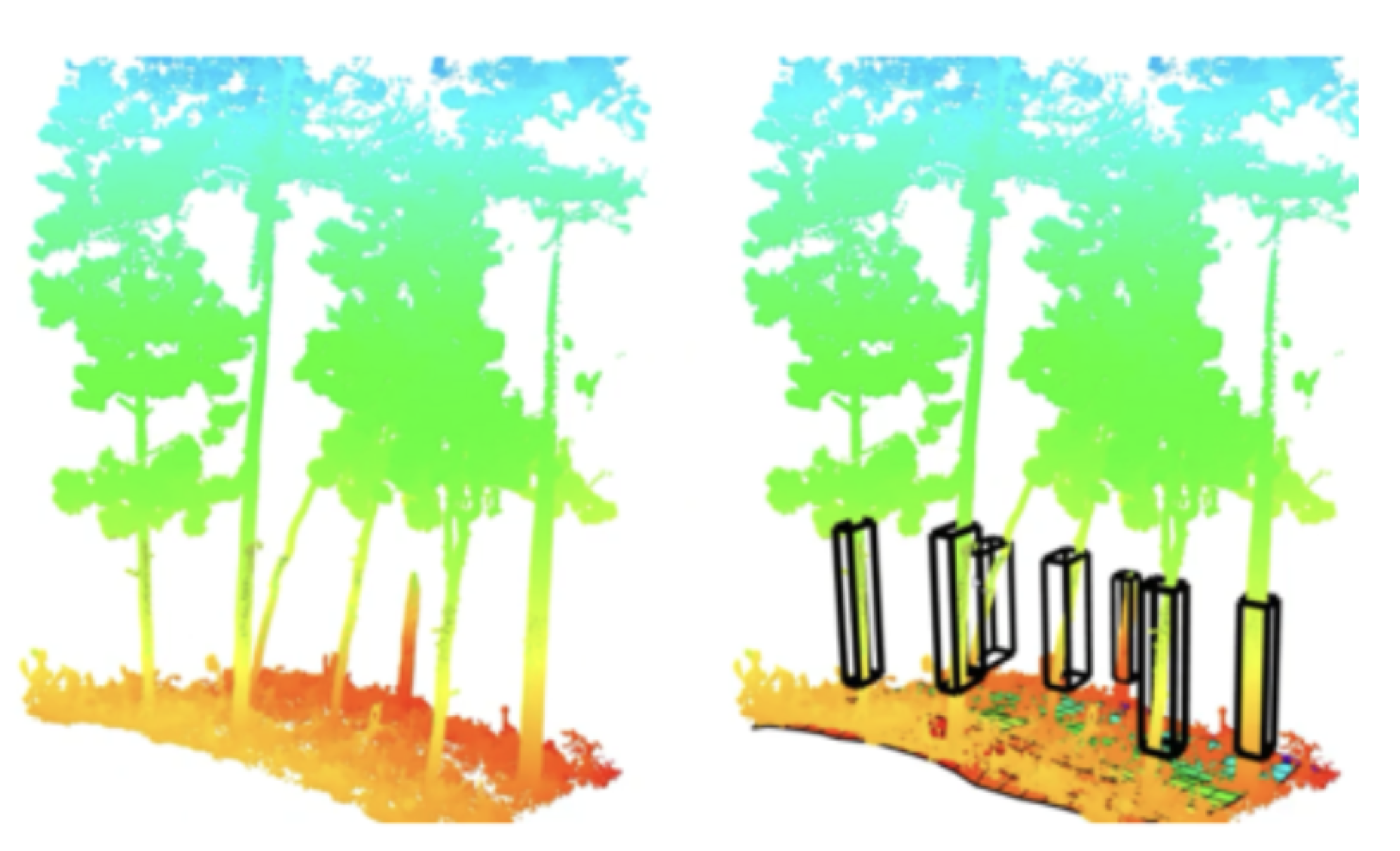
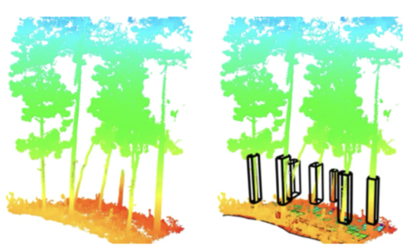
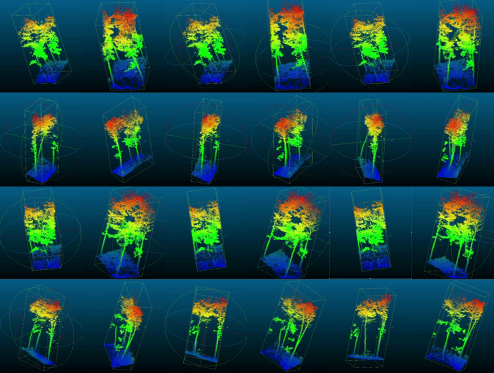
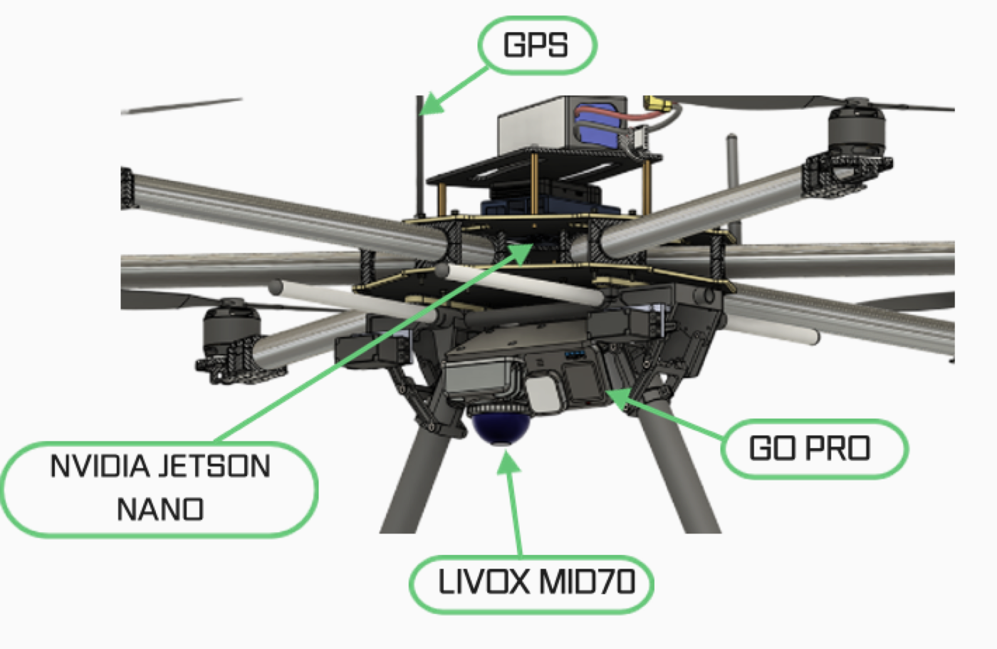
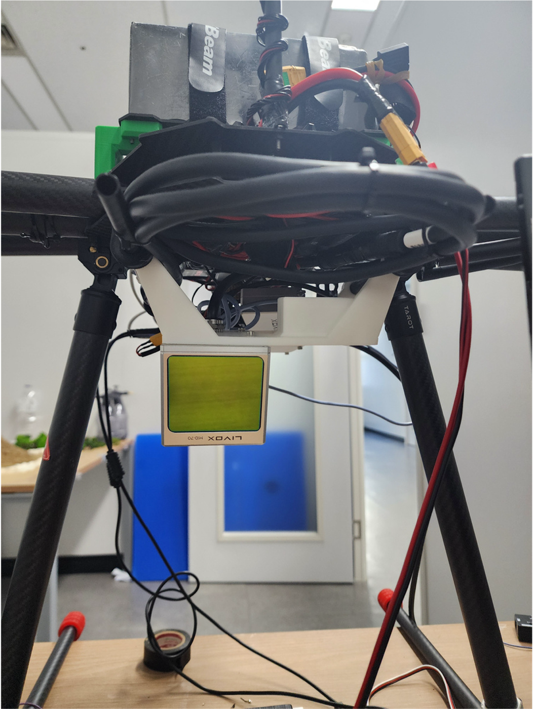
Graduation project (Best Project). I built an end-to-end LiDAR-inertial SLAM pipeline based on DLIO, mounting a Livox Mid-70 LiDAR, an IMU, and a Jetson Nano on a drone and calibrating the sensors together. Flying over a forest, the system reconstructs a dense 3D point cloud; from it I detect and count individual trees with Euclidean clustering and estimate the forest’s carbon sequestration.
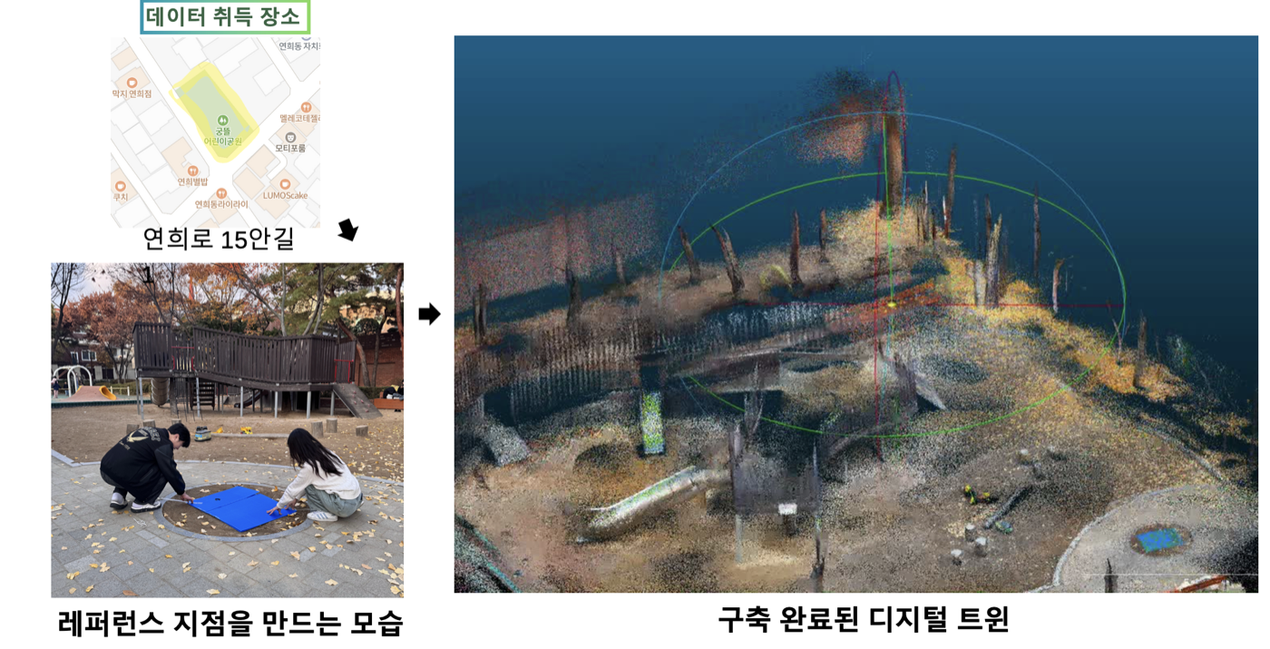
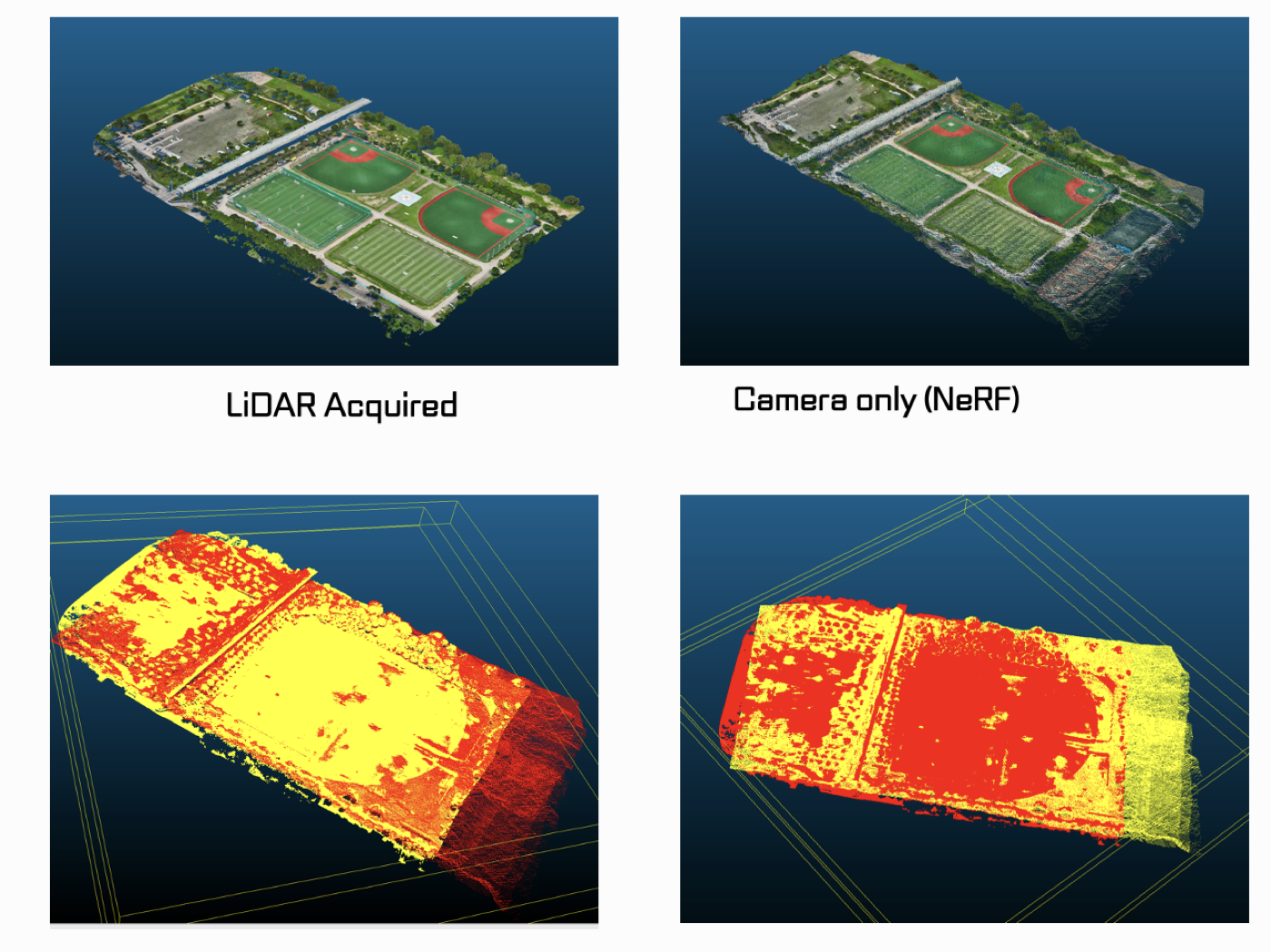
Individual tree detection from the reconstructed point cloudCounting trees with Euclidean clusteringDrone sensor rig: Livox Mid-70 LiDAR, IMU, GoPro, and Jetson NanoThe scanning drone with the Livox Mid-70 mountedLiDAR-acquired vs. camera-only (NeRF) reconstructionData acquisition site and reference setup