DepthViz — A LiDAR Scanner on iPhone
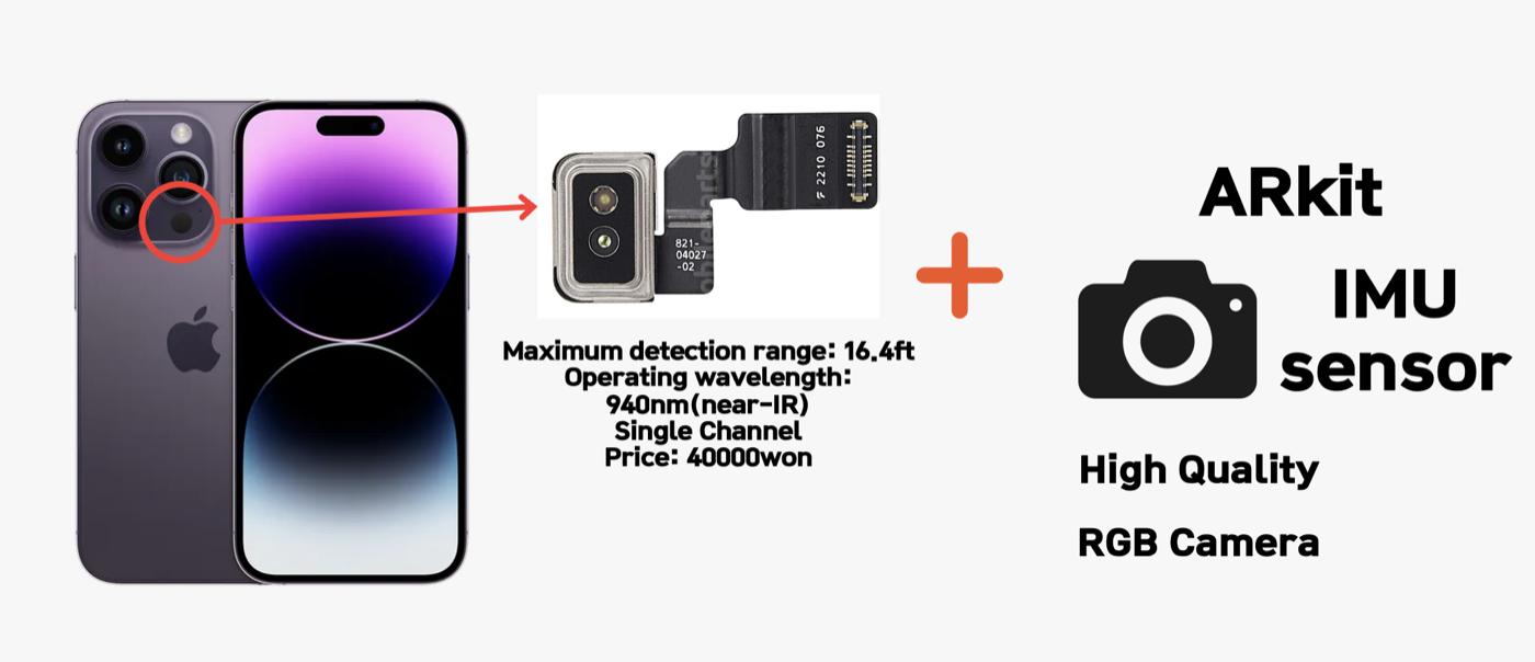
DepthViz turns an iPhone into a professional-grade point cloud scanner by fusing its LiDAR sensor, camera, and IMU in real time. Built for iPhone 12 Pro and newer, it is the first LiDAR scanner application developed in Korea. I founded the project, shipped it to the App Store where it peaked at #36, and the company was acquired by a construction firm. The code is open-sourced and uses only Apple’s native libraries.
Accessible 3D sensing
With LiDAR now built into iPhone Pro models, high-quality 3D sensing is in everyone’s pocket. DepthViz makes it easy to capture, process, and explore detailed spatial data with a single tap, no specialized hardware required.
Key features
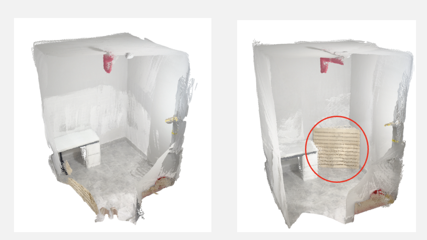
- High-accuracy fusion of LiDAR, RGB, and IMU data for precise spatial reconstruction
- Project-based file management: organize scans, view point clouds on-device, and share or delete with ease
- PLY export for downstream processing in any 3D pipeline
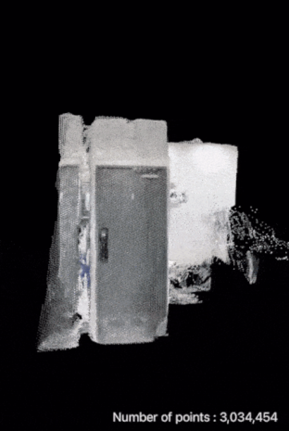
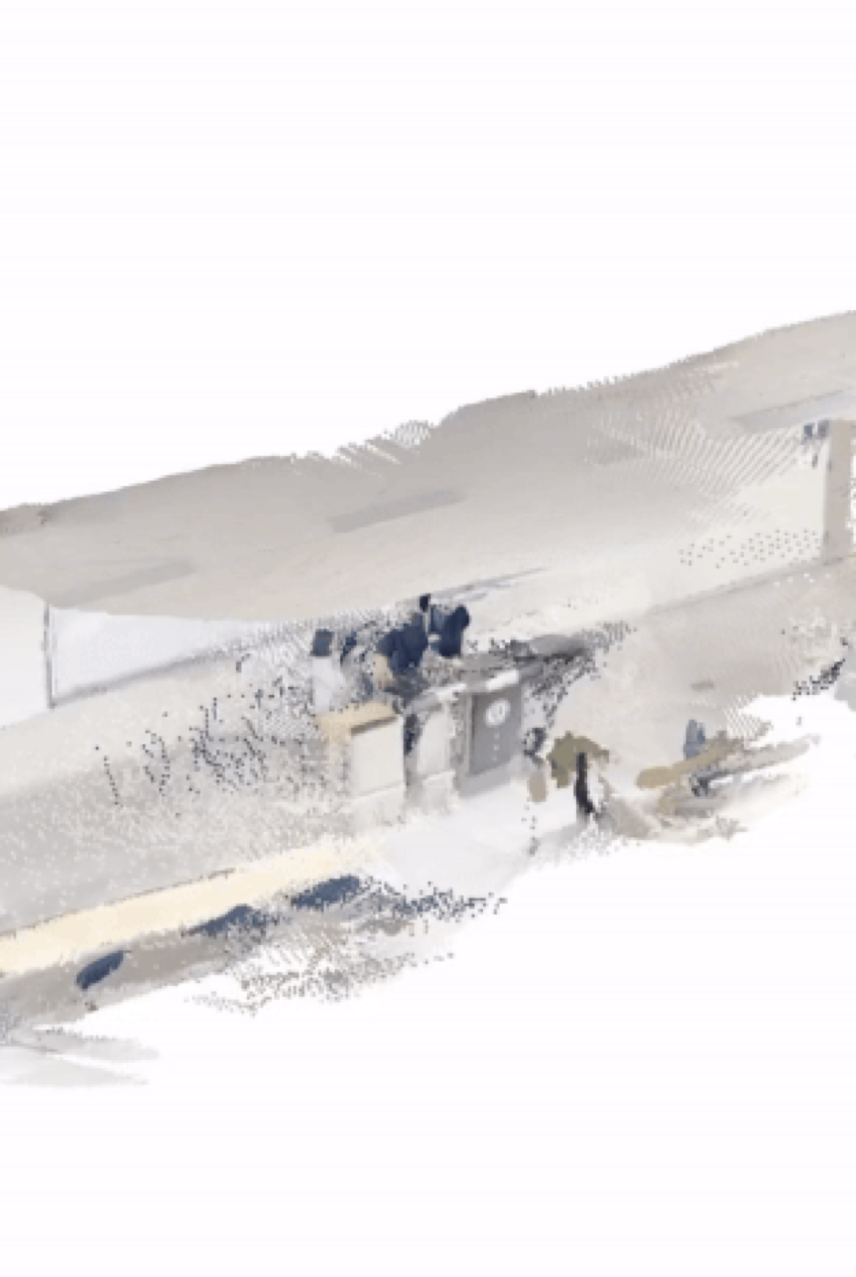
PLY point-cloud output, ready for external tools
Awards & recognition
- KR Patent granted — LiDAR Micro Mobile Mapping System (Application 10-2024-0130327)
- Yonsei ICEE Challenge 2024 — Winner
- World Robo Festa 2025 (Chungcheongnam-do) — Winner
Use cases
Construction site progress tracking, architectural modeling from real-world geometry, and rapid surveying of terrain and structures.